by August Linton
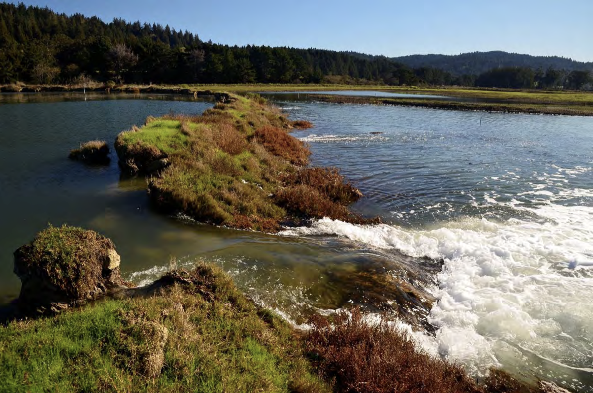
The edges of Humboldt Bay are on the verge of being overrun by the sea. It laps at the boundaries of Highway 101, surrounds the Arcata Marsh, and sneaks around the corners of low-lying industrial areas in Eureka.
SINKING SHORELINE
Humboldt’s location at the end of the Cascadia Subduction Zone makes the area more vulnerable to sea level rise than any other location on the California coast. Due to its position in a very active tectonic area and the specific activity of the surrounding plates, the Humboldt County region is steadily sinking, or subsiding.
The Humboldt Bay Vertical Reference System Working Group is a research group focused on identifying geology’s role in Humboldt Bay sea level rise. In a 2017 report, they found that land subsidence contributes to sea level rise 2 to 3 times more in Humboldt County than anywhere else in California. Of the 18 inch rise in sea levels that has occurred locally in the past century, an estimated 50% is due to tectonic subsidence.
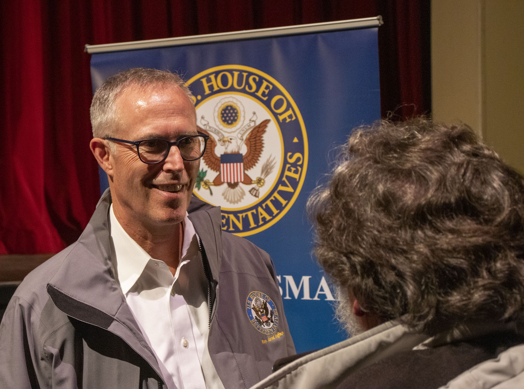
“The ocean isn’t rising any faster off of our coast than it is down in San Francisco, but we have subsidence that the rest of California doesn’t have,” said environmental planning consultant Aldaron Laird.
Laird has been an essential part of local sea level rise risk assessment and adaptation planning over the last decade, consulting with Humboldt County and various local districts.
ADAPTATION PLANNING
Humboldt County has commissioned many reports which assess the risk that sea level rise poses to infrastructure and communities. These contextualize what different levels of sea level rise will mean, and suggest possible adaptation measures. However, the reports do not implement the adaptation measures.
The most recent grant-funded project to tackle this issue concluded in 2019, yet none of the recommendations from that, or any other report, have been implemented.
An area that the reports do not touch on is the potential for industrial contamination in the bay as sea level rise reaches new areas.
In her career as an environmental advocate, Jennifer Kalt has observed the local government’s lackluster reaction to the threat of sea level rise for years.
“What I have seen as a repeating theme is a lot of local jurisdictions getting grant money to develop plans and then there isn’t a plan,” said Kalt. “It’s a little depressing to see so much planning lead to nothing.”
Michael Richardson is a supervising planner of long range planning in the Humboldt County Planning and Building Department, which is responsible for sea level rise adaptation planning. He said that the county would like to decide on terms of collaboration with other local jurisdictions before they plan to implement any sea level rise adaptation measures. Simply put, they don’t have immediate plans to do anything specific.
“There would be a different process to go forward with getting the cities and the county on the same page and whatever agreements need to be made,” said Richardson. “What that plan looks like is what we’re still figuring out.”
Kalt doesn’t think that the pace at which the government is moving on this issue will make a difference in time. In addition to protecting residential areas, she said that their focus should be on relocating key infrastructure.
“I’m concerned that a lot of the agencies that need to address these problems, there’s not a lot of political will to do what needs to be done,” said Kalt.
There are many organizations with an interest in adapting Humboldt Bay to meet the challenge of sea level rise. The Coastal Commission, CalTrans, Humboldt County, local city governments, and even the state government of California all hold potential responsibility for the threatened areas. Kalt doesn’t see any of them doing anything to prepare.
“It’s a Humboldt County pastime to finger-point,” said Kalt.
A recent report released as part of the county’s Humboldt Bay Sea Level Rise Regional Planning Feasibility Study extensively details what theoretical responsibility a variety of local, state, and federal jurisdictions would have to combat sea level rise, but does not lay out a plan for collaboration. A further report is expected to be published before the end of 2022, recommending a strategy for collaboration.
If nothing is done to adapt to the changing coastline, life around Humboldt Bay will look very different in 50 years. Infrastructure-rich areas will be reclaimed by the tide, and local government and utilities companies alike will have to find ways to work with the new bay. It is also worth considering that any adaptation measures will likely take significant time and resources to complete given their cost and scale.
KING SALMON
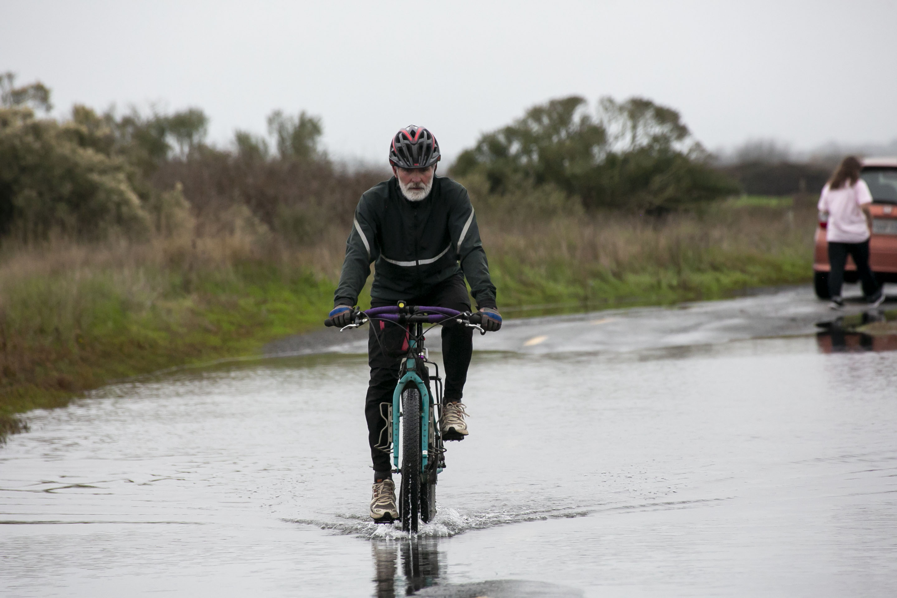
One of the first areas in Humboldt to be substantially impacted by sea level rise is the unincorporated community of King Salmon. This oceanside community is located across from the mouth of Humboldt Bay just south of Eureka, exposing it to the full brunt of tidal forces. Sunbleached houses, mobile homes, and a few small businesses line canals. It is located only 3 feet above sea level.
In early January 2022, there was a flooding event in King Salmon caused by king tides coinciding with the rain and high winds from a storm. Photos depict residents kayaking down the street or wading shin-deep in water. Little structural damage was done, but it was obvious that King Salmon is at extreme risk as sea levels continue to rise.
Parts of the community are only accessible via a single bridge on King Salmon avenue. Any tide which overtook this could leave residents with no method of escape. In a 2022 Humboldt County Civil Grand Jury report, this is predicted to occur within 3 feet of sea level rise, possible as soon as 2070.
INFRASTRUCTURE
Other significant infrastructure endangered by the amount of sea level rise listed in the report include PG&E’s Humboldt Bay Power Plant (HBPP) complex, Highway 101 as it traverses the bay, and water and electrical transmission lines. Several sites contaminated with industrial waste will also be reached by tides at this level..
According to a report authored by Laird, 1.6 feet of sea level rise, possible by 2040, will put King Salmon underwater during king tides. Sea level rise of 3.3 feet, predicted to occur by 2065, will cause the tides to overtake most of the area daily.
According to Laird, the most pressing threat to King Salmon is whether utilities will continue to be available to its residents. “It only takes one utility to stop providing service and you wouldn’t be able to live there anymore,” he said.
PG&E’s Humboldt Bay Generating Station, located in King Salmon, supplies power to around 67,000 people. It is predicted to be threatened by king tides by 2065. The plant will have to be relocated or otherwise protected from the tides in the near future if it is to continue supplying power to Humboldt County.
The Humboldt Bay Independent Spent Fuel Storage Installation, a nuclear waste storage facility, is located on the HBPP campus. It houses the spent fuel from the Bay Generating Station’s nuclear predecessor. There are currently no plans to relocate the spent nuclear fuel stored there.
HERE AND NOW
Participants in the Humboldt Baykeeper’s King Tides Photo Initiative have found evidence of high water levels affecting Humboldt County here and now. Founded in 2004, Humboldt Baykeeper is an advocacy organization which focuses on preserving coastal resources around the bay. They monitor levels of contaminants present in the bay, assess new industrial developments, and catalog the effects of sea level rise.
The King Tides Photo Initiative encourages members of the community to document areas inundated by high tide levels. In many of these photos, residential areas around the bay are actively being overrun by the sea. Some of the images aggregated on Baykeeper’s Facebook page show the Highway 255 bridge over Mad River Slough nearly overtopped, Jackson Ranch Road in the Arcata Bottoms covered with water, and waves crashing over a parking lot at the Arcata Marsh.
The Highway 101 corridor is one of the areas where tidal inundation is starkly visible. Despite the bay’s encroachment, there are ongoing plans to extend the Humboldt Bay Trail along that same strip to reach Eureka.
DIKED SHORELINE
Humboldt County and the Eel River Delta are uniquely vulnerable to sea level rise. The historical legacy of diking the shoreline in order to create more usable land has led to a large concentration of critical infrastructure in former salt marsh lands, according to Laird.
A large portion of Humboldt County’s critical infrastructure is concentrated in former salt marsh lands. This land is made accessible and flood-proofed by a system of dikes which will not stand up to sea level rise.
“Highway 101, Highway 255, municipal water lines, wastewater treatment lines, natural gas lines, optical fiber lines; all of this infrastructure is built on that former tideland which is prevented from saltwater inundation only by the diked shoreline,” said Laird.
The location of this infrastructure in former tidelands means that a breach in any one dike could result in the entire area being flooded. “We don’t have to wait for sea level rise to see the impacts of reclaiming the diked former tidelands,” said Laird.
Even if every dike around the bay holds against today’s water levels, they will be overtopped by 2 to 3 feet of sea level rise by 2040 at the earliest, and 2060 at the latest. Additionally, there is no bay-wide district in charge of maintaining the dikes. Instead, over 100 shoreline parcels are individually managed by local jurisdictions.
It costs millions of dollars to rebuild even one mile of diked shoreline, and the raw materials to rebuild are not readily available in the quantities that would be needed.
“If we can’t address these and do anything about it, I think the first thing that’s going to happen is the dikes…they’re going to fail,” said Laird. “They’re going to breach and the bay is going to reclaim the 7 to 9 thousand acres of tide lands that used to be part of it. It’s the areas that we gobbled up from the bay over a century ago, those are the ones that are most vulnerable.”